Tsholotsho Rural District Council
Tsholotsho Rural District Council
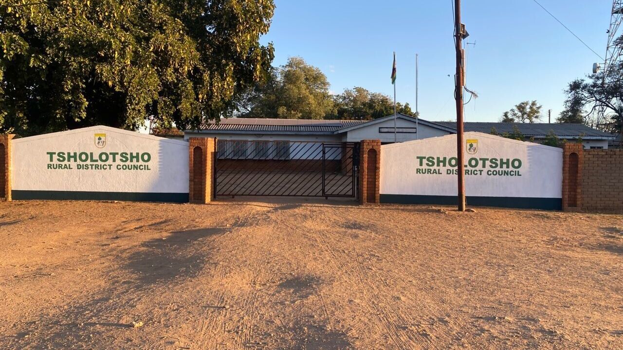
Tsholotsho District is an administrative district in Matabeleland North Province; Zimbabwe located about 65 km north-west of Nyamandhlovu and 98 km north-west of Bulawayo.
Introduction

Tsholotsho District is an administrative district in Matabeleland North Province; Zimbabwe located about 65 km north-west of Nyamandhlovu and 98 km north-west of Bulawayo.
Tsholotsho is located in an area which once used to be a waterlogged basin over 250 million years ago. This basin can be traced as far north as Hwange and is responsible for the formation of the coal deposits in Hwange. Tsholotsho has two principal rivers which are Manzamnyama and Gwayi. The Rural District Council is a spoke council in the hub and spoke programme for gender mainstreaming in local government. The council is mentored by Umguza RDC. Tsholotsho RDC has 22 Wards, 26,668 households and an average of 4.3 per household according to the 2022 population census.

Key Achievements
Capacity building to empower women with critical skills to participate in developmental programs.
Gender inclusivity in policy and decision-making processes.