Matzikama Local Municipality
Matzikama Local Municipality
Introduction
Matzikama Municipality ( is a local municipality which governs the northernmost part of the Western Cape province of South Africa, including the towns of Vredendal, Vanrhynsdorp, Klawer and Lutzville, and the surrounding villages and rural areas. As of 2022, it had a population of 69,043. It forms part of the West Coast District Municipality, and its municipality. Matzikama is of Khoekhoe origin, the first people of South Africa. It contains the Khoekhoe language words ma which means "give", tsî which means "you", and ǁgamma which means "water", and loosely translates into "you that give water".
The municipality covers a total area of 12,981 square kilometres (5,012 sq mi) in the northernmost part of the Western Cape province, stretching from the Atlantic Ocean in the west to the mountains of the Bokkeveld Escarpment in the east. The Olifants River flows through the southern part of the municipal area, while to the north lies the hilly area known as the Knersvlakte. The municipality abuts on the Kamiesberg Municipality to the north, the Hantam Municipality to the east and the Cederberg Municipality to the south.
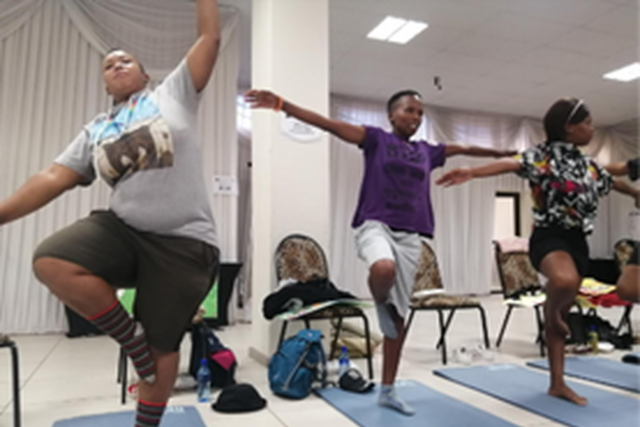
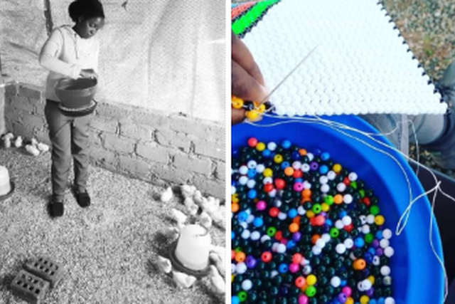
Stories of change