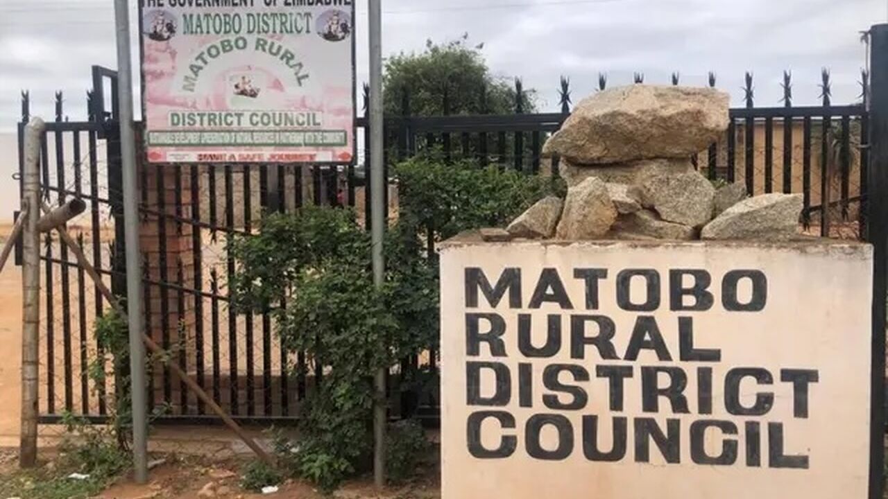
Matobo Rural District Council

Matobo Rural District Council
Matobo Rural District Council is in Matabeleland South Province having been formed in 1993, after the amalgamation of South Matobo Rural Council and Matobo District Council.
Introduction

Matobo Rural District Council is in Matabeleland South Province having been formed in 1993, after the amalgamation of South Matobo Rural Council and Matobo District Council in accordance to the revised 1996 Rural District Councils Act [Chapter 29:13].
The district is 7,220 km 2 area and it is bounded to the east by Gwanda, west by Bulilima and Mangwe, North by Bulawayo City Council, Northeast by Umzingawane district, Umguza to the Northwest and Botswana to the South. Northern Matobo consists of hills which gave birth to the name Matobo. It is part of the world heritage site with its scenic sites incorporating Cecil John Rhodes Grave, Old Bulawayo, Njelele Shrine, San rock paintings, the national park, and wildlife and dam sanctuaries. The council is a spoke council in the hub and spoke programme for gender mainstreaming in local government. It is mentored by Umguza Rural District Council.

Key Achievements
Adopted the tsotso stoves and climate smart agriculture to promote afforestation and good nutrition.
Adopted a monitoring and Evaluation plan which aid in tracking progress.
Awards