Hwange Rural District Council
Hwange Rural District Council
Hwange District lies in the North-West part of Matabeleland North Province, sharing its borders with Zambia to the North, Botswana to the South-West, Tsholotsho District to the South-East, Lupane to the East, and Binga to the North.
Introduction

Hwange District lies in the North-West part of Matabeleland North Province, sharing its borders with Zambia to the North, Botswana to the South-West, Tsholotsho District to the South-East, Lupane to the East, and Binga to the North.
Hwange is one of the largest districts in Zimbabwe with 20 rural wards covering a total area of about 2,195,658ha, of
which 75% of the land is under National Parks and Safaris. Approximately 99,003ha is arable land which constitutes
4.5%, while 13,5% constitutes grazing land and the remaining 7% are forests. Out of the 20 rural wards, 17 are communal, one is resettlement (Ward 1), Ward 18 is peri-urban, while Ward 19 is national parks.
According to the 2022 population census Hwange RDC serves a total of 17,925 households with an average household size of 3.9. The council is a spoke council in the hub and spoke programme for gender mainstreaming in local government, mentored by Umguza RDC.

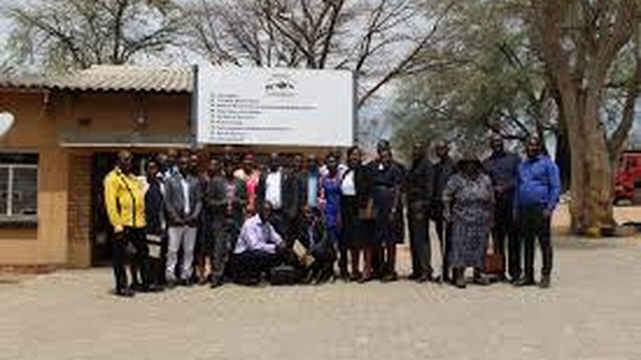
Key Achievements
Nine (9) women representatives appointed through the Women's Quota. ensure women's voices are heard in decision-making.
Awards
Stories of change